Menu
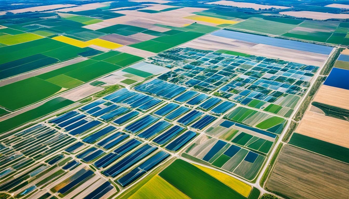
Google has gathered a huge database of satellite images, available to the public via Google Earth, Google Maps, and Google Earth Engine. This, along with data from projects like the Landsat programme, is changing farming. This technology gives us new ways to look at crop health, use water better, and ensure farming is sustainable. With a view from above, remote sensing lets farmers check water loss and see how their crops change throughout the year accurately.
Now, the farming world can get details from space, like images less than a centimetre wide. This helps with managing farms closely and checking the soil’s health. Satellite imagery isn’t just high-tech; it’s about giving power to farmers and researchers. They can now use fact-based thinking to make choices that help the earth and make farming better. I’ll show how mixing space data with real field info is a big deal for farming tech.
Modern farming has changed a lot due to new technology. Now, many farmers use high-tech tools like GPS and satellite images. This mix of technologies is key in precision agriculture. It boosts crop yields and helps farming be more eco-friendly.
Technological growth has reshaped farming greatly. Satellite imagery is vital for checking on crops, soil, and environmental changes. For example, the USDA NRCS gSSURGO dataset shows how we use data to farm better. This highlights the global need for updated tech in farming.
Today, farmers analyse their land using tools like Google Earth. They can make smart choices with detailed information about their fields. The U.S. Landsat program provides vital data. It gives regular updates on Earth changes, crucial for farmers. Google’s huge collection of satellite images is also a big help to farmers worldwide.
Satellite images have completely changed how we monitor crops and land. New tech is making data more accurate and available. Companies like Planet Labs offer detailed, up-to-date images. They help study land changes closely. Now, we can get as detailed as square centimetres, offering farmers very precise info.
Using these advanced tools and data boosts farm productivity. It helps farmers use resources better and focus on both making money and being eco-conscious. By using sophisticated technology, farming is moving towards a more sustainable and effective future. Satellite images are a big part of this progress.
Satellite imagery is key in modern farming. It’s captured by sensors on satellites, as they move around the Earth. Later, experts process this data. They turn it into useful info for farmers and scientists.
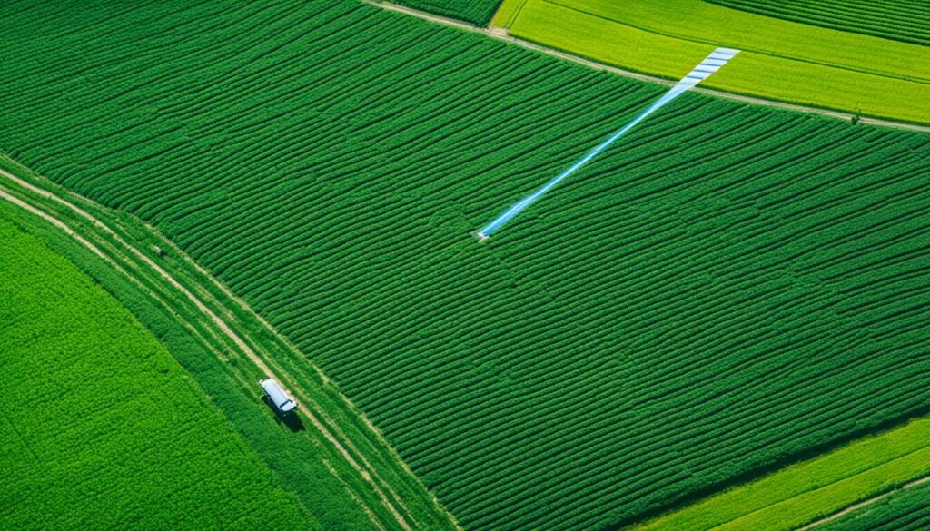
Satellites like Landsat capture light from various parts of the spectrum. They use different wavelengths to see details like crop health. This process helps in understanding how plants are doing and what the ground is like.
Special software then looks at these images. It uses specific methods to check plant growth and assess soil. This way, farmers know what parts need more attention.
By looking closely at images with tools like NDVI and EVI, farmers can track how well their crops are doing. And, as satellite images get sharper over time, they get even better at this job.
Satellite pictures are taken on a regular basis, sometimes even daily. Planet Scope satellites, for example, give pictures every day at a 3 to 4 meter resolution. This is very detailed. Others such as Sentinel-2 update every five days with a slightly lower, but still useful, detail level.
After taking the images, experts go through them carefully. They use special methods to pull out important information. Things like soil wetness or the amount of leaves cover can be figured out from these pictures. This helps in making decisions that improve how we farm.
Thanks to new tools and the ongoing improvements in satellite technology, farming is becoming more efficient and eco-friendly.
The agricultural sector uses various satellite imaging types. They help with farm management and monitoring crop health. These tools ensure that farming is done in a sustainable way. Each type of imaging provides unique insights for better farming.
Optical satellite imagery focuses on light reflected from the Earth. It is great for watching crop growth and checking changes in land use. Satellites like those in the Landsat program offer key data. This data helps evaluate how healthy vegetation is and watches progress over time.
Radar satellite data can see through cloud cover. This means it can take pictures no matter the weather or time of day. Radar satellites use microwaves to check soil moisture and help predict the weather. This is vital for dealing with bad weather’s impact on farming.
Spectral imaging captures data in many more wavelengths than the eye can see. It is used for detailed checks on plant health and finding out what crops are grown. With this, farmers can closely monitor nutrient levels. The Landsat satellites, orbiting every 16 days, provide regular updates. These updates are crucial for making important farming decisions.
Farmers are now using various satellite imaging types to improve their work. This technology gives them precise and up-to-date data. It helps them make smart decisions and supports farming in a way that is good for the planet.
Using satellite images in farming is very helpful. It makes farming more efficient and productive. Farmers can make better use of their resources.
Thanks to these images, agriculture is getting smarter and more eco-friendly. This is a big change for the better in the farming world.
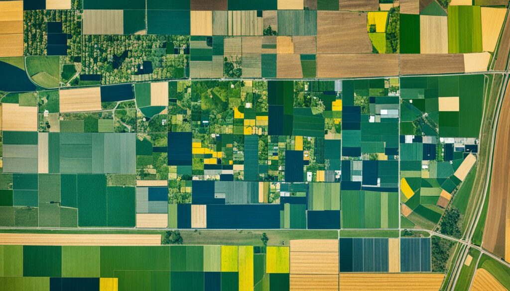
Satellite images are key for growing better crops. They help spot problems early, like bugs or not enough water or nutrients. Landsat satellites have been helping since 1972, showing clear pictures of crop conditions over vast areas.
Planet labs send out new images every day, with details down to 1-5 square meters. This helps farmers to make quick choices for better yields.
Satellite images also make farms work better. With tech from Sentinel-2 satellites and Planet Scope, farms can be more precise. This leads to less waste and more crops.
Farmers can now use the right amount of fertiliser in each spot or water their fields better. The mix of satellite and local info gives a clear view of what’s needed across different farm sizes. This detailed knowledge is making a big difference in farming decisions.
In the digital age, knowing about satellite data is key in geospatial data in agriculture. Many satellite data providers share their data, including governments and businesses.
The Landsat programme is a good example, going back to the 1970s and now. It got a boost from Landsat-8 in 2013. NASA also adds over 70 years of useful images for farming. Satellites like GeoEye-1 and IKONOS provide detailed pictures, helping a lot in farming.
Thanks to Google Earth Engine in farming, anyone can tap into this imagery. It blends images from space with Google’s huge data systems. This helps farmers see and understand farm activities better. It makes the technology useful for making farming choices based on data.
For example, Tule Technologies uses NASA’s satellite views to help farmers use water better. Almond growers who use Tule can save a lot of water and grow more nuts. Grape growers in Southern California have cut their water needs in half. They are farming smarter and with less water waste.
The table below shows various satellite data sources and their details:
| Satellite | Spatial Resolution | Footprint Width |
|---|---|---|
| GeoEye-1 | 50 cm pan/2 m multispectral | 15 km |
| IKONOS | 80 cm pan/4 m multispectral | 11 km |
| Quickbird | 60 cm pan/2.4 m multispectral | 18 km |
| SPOT | 2.5 m or 5 m pan/10 m multispectral | 60 km |
| Worldview-1 | 50 cm | Not specified |
| Worldview-2 | 50 cm pan/2 m multispectral | Not specified |
| ASTER | 15 m | Not specified |
Mixing satellite data with what people find on the ground really boosts the use of geospatial data in agriculture. This mix helps use resources better and make smarter choices for farming.
The use of GPS and remote sensing is changing farming through precision agriculture. This blend allows farmers to use spatial data and ground details effectively. It helps in making better choices for farm management.
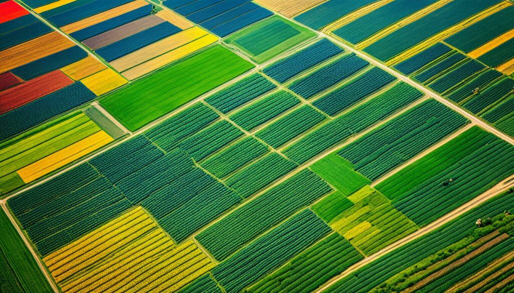
Adding satellite data to GPS tech in agriculture offers many advantages. It helps outline field limits, roads, and irrigation, pinpointing crop issues precisely. Satellite data keeps an eye on these areas, aiding timely crop checks.
Thanks to advanced systems, pictures from satellites and GPS points are matched for accurate area measurements. This is vital for tasks like soil checks, where farmers need exact navigation for the best analysis. Such tech is also a huge plus for crop advisors, helping them spot pests and plant issues accurately, which speeds up their work.
Precision agriculture is greatly boosted by GPS and remote sensing. It allows for precise chemical spreading on crops from the air, against wind drift and wastage. This targeted approach helps the environment and saves resources.
Global positioning systems (GPS) and satellite data are also used in important research on soil health and carbon levels. New civil signals on GPS satellites will make these farming operations even better and more reliable.
| Aspect | GPS Technology | Remote Sensing |
|---|---|---|
| Mapping | Field boundaries, roads, irrigation systems | Crop health monitoring, soil condition assessment |
| Precision | Accurate soil sampling navigation | High-resolution crop condition monitoring |
| Efficiency | Chemical application with reduced drift | Efficient resource utilisation |
| Research | Mapping pest infestations | Estimating soil organic carbon changes |
GPS and remote sensing keep pushing the boundaries in precision agriculture. The big pay-off is in better farm management and practices that care for the environment.
Precision agriculture is getting better with satellite images. They make crop monitoring and management super efficient. Now, farmers can get detailed data on their fields’ needs. They use this data to give crops the exact support they need to grow well.
The insights farmers get from satellite images are more accurate now. This helps them increase their harvests. But they use fewer resources, supporting the environment. By watching their crops closely, farmers can make quick and smart choices. They use high-quality data to solve farm problems.
Google has a huge database of satellite images. People can access these images through Google Earth, Google Maps, and Google Earth Engine. These platforms help farmers mix remote sensing with their own field data. Algorithms help farmers choose the best ways to use resources. This matches their needs with their goals for the environment.
Now, technology can match what we see in satellite images with things on the farm. This is key for those tracking carbon stocks. It makes their work more accurate and efficient. By using the Landsat programme, we get detailed data on plants every 16 days.
Increasingly sophisticated technology from companies like Planet Labs offers high-resolution data feeds that reveal land cover changes with daily updates and spatial resolution as fine as 1-5 square metres.
This detailed data is great for precision farming. It lets farmers check their fields in real time. They can look at weather and carbon levels any time. These steps help in showing how farmers are protecting the land. It makes their efforts clear to everyone. So, they can make the right decisions based on solid information.
Satellite tech keeps getting better for farming. It promises to boost farm yields, health, and management. These changes lead to farming that’s more responsible and effective. They’re key to meeting the world’s food needs without harming the planet.
In farming, satellite technology plays a key role in managing water. It has led to big changes in how water is used for crops. With NASA’s help, using GOES and Landsat satellites, farmers are now much better at deciding when and where to water their fields.
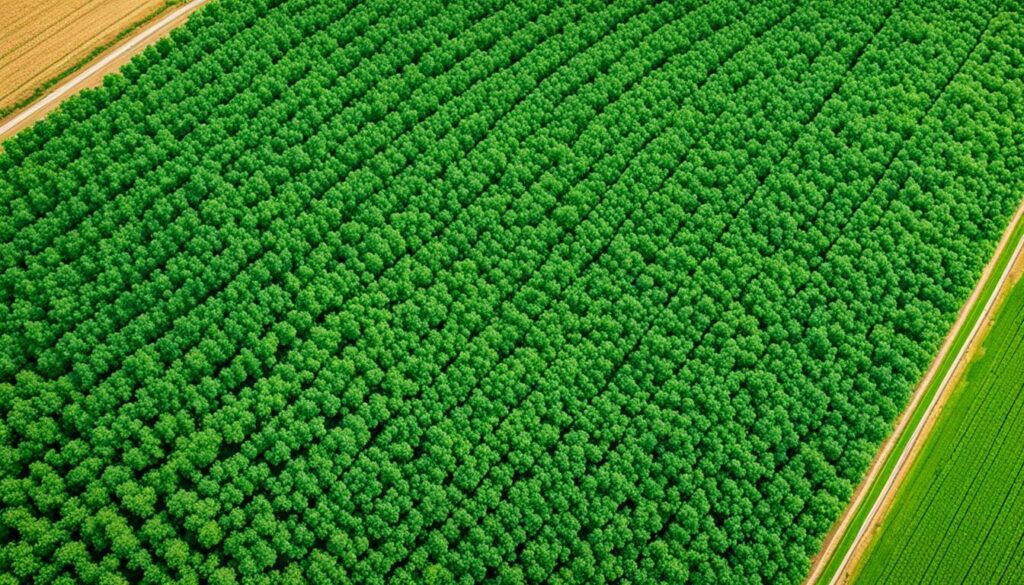
One great success story comes from Tule Technologies Inc. They use NASA satellites to improve how water is used in farming. By looking at data from GOES and Landsat, they find out where crops need water the most. This means water is used very wisely, only going where it really helps the plants grow.
This approach really works. The UN’s Food and Agriculture Organization says that with satellite help, farmers are making 12% more food. The key is using water more accurately, thanks to satellites. This shows just how big an impact technology can have on farming.
Getting water to crops more precisely has other benefits too. An approach called Controlled Traffic Farming (CTF) makes paths for machines, helping the soil stay healthy. This leads to better growth in crops. So, the smarter use of water also helps soil and plants do better.
There’s also a success story from Century Orchard’s Almond farm in Loxton, SA. The story is in the Airborne Imagery factsheet, sponsored by the South Australian Grain Industry Trust (SAGIT). It shows that satellite images can really help farmers do a better job. They show us that high-tech maps can be a big help in making farming more efficient.
| Satellite Program | Benefits | Case Study |
|---|---|---|
| GOES | Enhanced water management | Tule Technologies Inc. |
| Landsat | Irrigation optimisation | Century Orchard Almond plantation |
| Sentinel-2 | Crop monitoring | FAO report |
These success stories clearly show how useful satellites can be. By using NASA’s technology like GOES and Landsat, farming water use has got a lot better. This leads to farming that’s more profitable and better for the planet. It’s all about using resources well while making the most food we can.
Despite big leaps in technology, problems in remote sensing hold back farming tech progress. “Free and open” high-res data from Sentinel has helped, but satellite data challenges are still a big deal.
One big issue is the quality and how often we get satellite data. Good pictures cost a lot, putting them out of reach for many small farmers. Figuring out what crops are where is hard, especially in places with lots of different crops. Maps made at the end of the season are okay, around 70-80% correct. But doing this early in the season is tough because fields don’t look as unique.
Bad weather adds to these challenges. In rainy areas, it’s hard to get pictures without clouds. This lack of clear images messes with how well we can check on crops and soils. Processing lots of images also needs a lot of computer power. This is why we rely on big cloud systems like Google Earth Engine.
Combining data from the ground with satellite info is key but not easy. For good crop maps, we must have solid data to learn from. This means we need smart ways to check if the data is any good.
Using small-scale ideas on a bigger stage is hard. Our current cloud systems can’t always cope, and neither can the smart computer algorithms. There’s also a big move towards using deep learning for crop work. But, for this to work well, we must ensure the ground data is top-notch.
The European Space Agency is pushing to solve these problems.
They’re doing this by launching a new cloud system for handling Copernicus satellite data. Platforms like LandViewer are working to make it easier to study small areas efficiently with satellite data. This could help deal with some of the struggles satellite data faces in farming.
| Challenges | Details |
|---|---|
| Resolution and Frequency | High-quality imagery is costly, making access difficult for small-scale farmers. |
| Crop Classification | End-season maps achieve 70-80% accuracy; early-season classification is challenging. |
| Cloud Cover | Cloudy conditions hinder accurate monitoring, particularly in rainy climates. |
| Data Processing | High computational resources required for multitemporal imagery processing. |
| In-situ Data Integration | Necessary for accurate classification but requires intelligent validation methods. |
| Scalability | Small-scale methods may not be effective for large areas due to platform limitations. |
It’s vital to understand these limits for working on better satellite-based tech. This is how we’ll beat the hurdles in farming tech.
Satellite imagery tech is growing fast, thanks to innovations in remote sensing. This is changing how we use tech in farming. Now, satellites can capture data daily and show features as small as one to five square metres. This makes it easier to track changes in land over time.
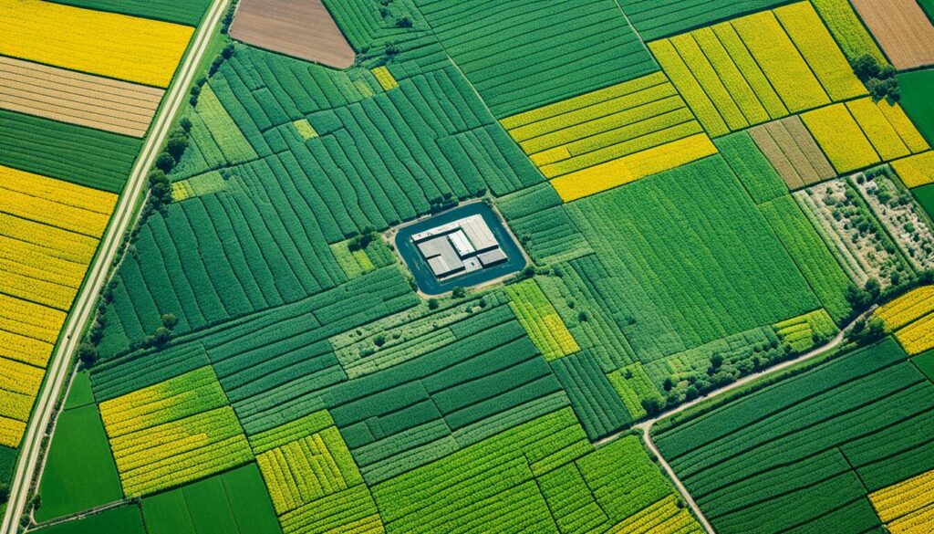
The U.S. government started the Landsat program in 1972. It sends satellites around the Earth every 16 days. These satellites give us a regular look at how crops and plants are doing, which is key for farming.
By combining this satellite info with ground data, we get “precision agriculture”. This means farmers can now understand the conditions of their land in great detail. Google has played a big part by sharing a lot of this satellite data openly.
There are also new ways to spot pests early, using fancy satellite images. This could save a lot of crops. Plus, it means we might use fewer harmful chemicals, which is good for the planet. This might also reduce carbon dioxide and water usage quite significantly.
All this new tech can save farmers a lot of money, and could cut food waste. Farming costs might drop by 5%, saving growers billions. Plus, saving food from getting wasted could bring in billions more in profit for farmers.
Experts think the market for satellite farming images will keep growing fast, maybe reaching $1 billion by 2030. It’s getting more popular with young farmers too. This optimism is also because selling this info to people concerned with the environment, like those trading carbon, is becoming more common.
Overall, these new satellite technologies are changing farming for the better. They give farmers key information to work smarter and help the environment too.
The future of farming looks bright thanks to new satellite technology. With images getting clearer and updates coming quicker, farmers will soon have a lot more help.
Cloud computing and satellite data are joining forces. This means farmers can quickly see how their crops are doing and spot any problems. Mixing satellite data with smart algorithms helps predict what might happen in the fields, which is great for planning.
Thanks to companies like Planet Labs, we can now check our lands every day, down to 1-5 square metres. This means we can catch problems early, like pests or diseases, before they spread.
Scientists are also working on ways to measure soil health from space. This could help us take better care of our soil. As these methods get better, so will our farming practices.
Looking back at old satellite data can teach us a lot too. It shows us what worked well in the past and what didn’t. Together with new analytics, this info helps farmers make smart choices to grow better crops and save money.
Remote sensing technology helps individual farmers monitor conditions, growth, weather, and carbon levels with increasing accuracy. This revolution in decision-making is promoting better soil health, increased efficiency, and improved profitability.
In sum, satellite tech, data analytics, and hands-on monitoring are changing farming for the better. These tools are not only boosting productivity and profit but also making farming kinder to the planet.
| Trends | Benefits |
|---|---|
| Cloud Computing Integration | Timely data processing and dissemination |
| Predictive Analytics | Enhanced forecasting for resource allocation |
| High-Resolution Imagery | Detailed monitoring of crop and soil health |
| Historical Data Analysis | Understanding long-term agricultural trends |
| Soil Organic Carbon Estimation | Improved soil management practices |
Satellite imagery in farming is vital today. It gives farmers a detailed look at their lands. With Farm management with satellite imagery, they understand their fields better.
Crop growth tracking is a top benefit. Satellite images show how crops are growing. This lets farmers know when to add fertilizers or water. It keeps crops in their best conditions. Also, it helps predict harvests by checking on plant health and strength.
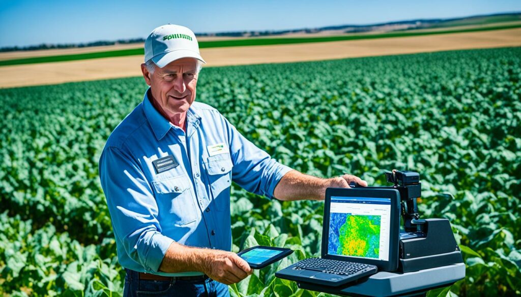
Even more, satellite data helps check on crop health. It aids in Enhancing farm analytics. Farmers use this to see if there are any issues early. Then, they can act fast to prevent crop loss. This quick action makes farming more efficient.
| Satellite | Repeat Cycle | Spatial Resolution |
|---|---|---|
| Landsat4-9 | 8 days | 15, 30, 100 meters |
| Planet Scope | Daily | 3-4 meters |
| Sentinel-2 | 5 days | 10 meters |
| Pleiades NEO | Request 40 minutes | 0.3 meters |
| ICEEYE | Daily | 0.25 meters |
To sum up, Farm management with satellite imagery changes the game for farmers. It turns complex data into practical advice. This makes farming smarter. It also helps protect the environment.
Geographic Information Systems (GIS) have changed farming by offering tools that show and analyse spatial data. This tech helps farmers use their resources better and make wise decisions. It’s key in how farming is done today.
GIS lets farmers make detailed maps showing soil differences, crop health, and field conditions. These maps help find where crops can grow best. So, farmers can improve their harvest. In places like South Africa, we use satellites to map fields precisely.
Also, NDVI maps tell us about soil health and water levels. They guide farmers in managing their crops better. These maps help measure how much crop we can get from an area. Adding real-time GPS data to GIS makes this process even more precise.
Gathering data from satellites, GIS makes farming more accurate and efficient. For example, it uses past data to decide where to plant, add nutrients, or protect crops. EOSDA’s Crop Monitoring, for example, uses NDVI to spot issues like dry soil or pests.
Satellites like Landsat 8 provide key data for mapping crop health and more. This ongoing data helps farmers and businesses with AI tools. The launch of EOSDA’s EOS SAT-1 will be a big move in this area, helping to monitor farmlands closely.
Bringing together farm software with satellite pictures is changing how we farm today. This combo helps with all stages of farming, like planting, harvesting, and keeping an eye on things. By using satellite data in farm software, farmers get a full picture of their farm’s health. This helps them make smarter choices using agricultural data analysis.
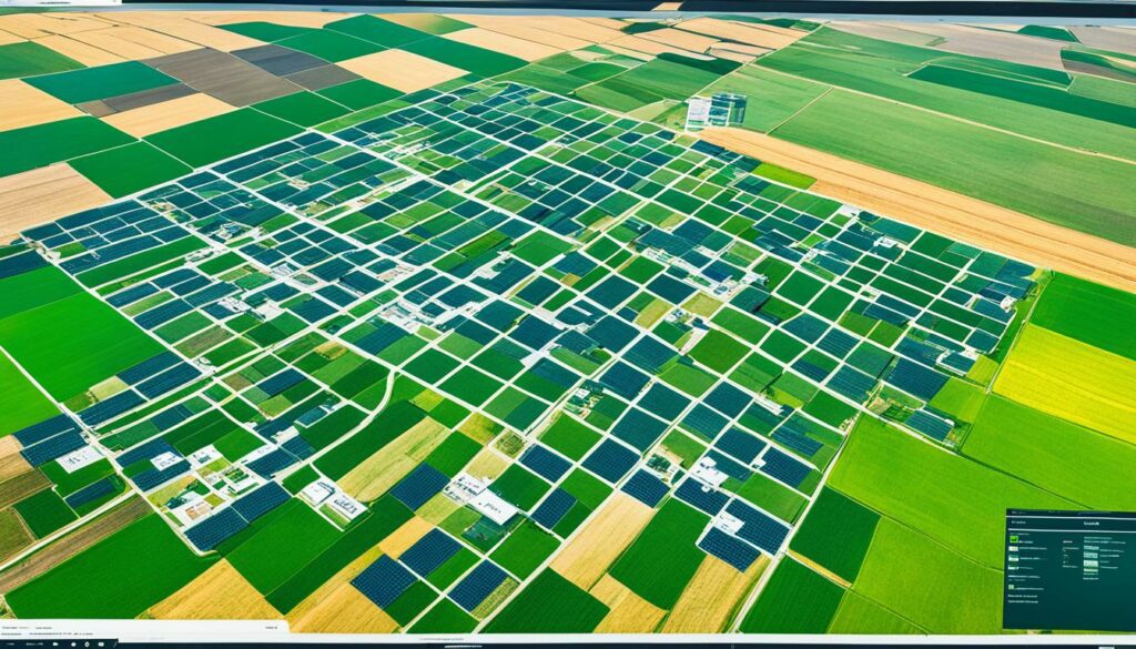
Farm software uses big sets of data from satellites, including those in the Landsat programme. This programme is run by the U.S. Government and it’s been gathering data since 1972. The software turns this satellite data into info that farmers can use, with details on areas as small as one square metre. With updates coming every 16 days, farmers get fresh, accurate info. This is valuable for things like using resources wisely and doing farming with minimum waste.
Planet Labs is up there among the best for detailed satellite looks. It gives data that shows details in areas from 1 to 5 square metres every day. This helps make better choices for farm management. Bayer, a big farming company, uses Planet’s info to check on thousands of fields. This way, they make sure farms have what they need to grow and do it as efficiently as possible. Manna Irrigation also uses Planet’s data, but for something slightly different. They use it to cut down on water use, giving spot-on tips for watering farms.
This blending of software and satellite data means farms can study their crops closely. They can check on things like crop health and spot issues early, such as lack of nutrients or pests. With the right info, farmers can treat problems before they grow. Farm softwares also hand out different looks at the fields, like plant health maps, natural looks, and heat maps. This varied info is super helpful throughout the year.
Google, holding a treasure trove of satellite pics, and others have opened the door to big data in farming. This has sparked a big change in how we farm, giving a boost to sustainability and profit. By using these detailed looks from space along with smart software, farming is becoming more efficient and smarter than ever.
| Provider | Resolution/Temporal Data | Key Uses |
|---|---|---|
| Planet Labs | 1-5 sqm/Daily | Crop health monitoring, irrigation planning, pest detection |
| Google Earth Engine | Various/Dependent on source | Historical management analysis, environmental monitoring |
| Landsat Program | 30m/16 days | Vegetation monitoring, soil health assessment |
Adding satellite images to farming marks an important joining of new and old ways. Farmers now have powerful tools for watching over their land closely and making good choices. As satellites get better, we’ll see even more clear and detailed pictures of how crops are doing.
Satellite images are changing the game in farming. They help farmers figure out how well their farm is doing and use their resources wisely. This saves both money and time. But, farmers still need to check on their crops up close; this is very important, especially when the weather messes with what the images show.
Even though satellite use has its challenges, it’s something to keep an eye on. More and better images are coming, thanks to new technology like orthorectification. Putting satellite data and farming know-how together will make our farms better and kinder to the planet.
Technology is key in today’s farming. It boosts efficiency, keeps tabs on crops, and makes the most of resources. With gadgets like precision tools and remote sensors, farmers get to see the bigger picture. This helps them choose what’s best using real data.
Satellite images give farmers a bird’s-eye view of their fields. They show crop health, soil needs, and what the weather is doing. This info helps farmers apply just the right amount of nutrients and water, boosting their harvests.
Farming uses a variety of space snapshots. This includes normal pictures, radar scans, and shots that show different colour spectrums. Farmers use these to track crops growing, check soil moisture, and spot any sick plants.
Working with satellite pictures has its hurdles. The data might not always be clear or timely. Getting high-quality pictures can be pricey. And sometimes, nature throws in things like clouds that mess with the accuracy.
GPS and space images team up to fine-tune farming. They let farmers tweak how much they feed or water their fields in various places. This make better use of resources and can guess how much crop they’ll get.
One big win is in saving water and using it wisely. For instance, Tule Technologies uses satellite help to water farms better. This saves water and makes farms more profitable.
GIS brings map data to life for farmers. It joins with satellite snaps to help manage fields better. This combo smartly plans where resources go and aids in making choices backed by solid data.
We’re looking at sharper focus and faster updates from images in the sky. Plus, better ways to guess what happens next in the fields. These changes will let farmers watch over their lands more skilfully and use resources wisely.
Farm tech brings together pictures from space and tools for farmers. This makes for smarter choices when planting or caring for crops. It turns raw data into clear plans, boosting how much farmers get from their fields.