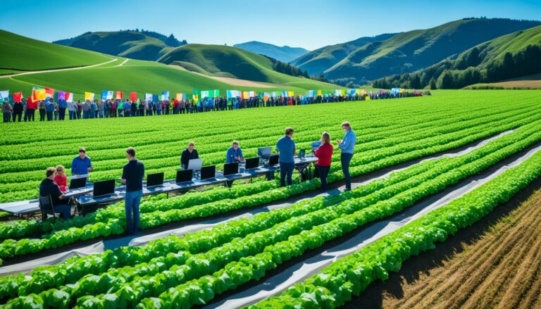
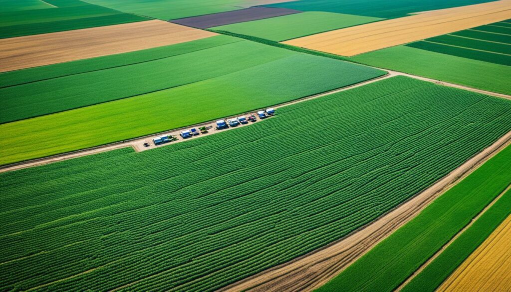
Precision farming software significantly boosts crop yields. It does this by allowing field monitoring from a distance. This tech is not only about making farming more successful but also about managing farms in a smarter and eco-friendlier way.
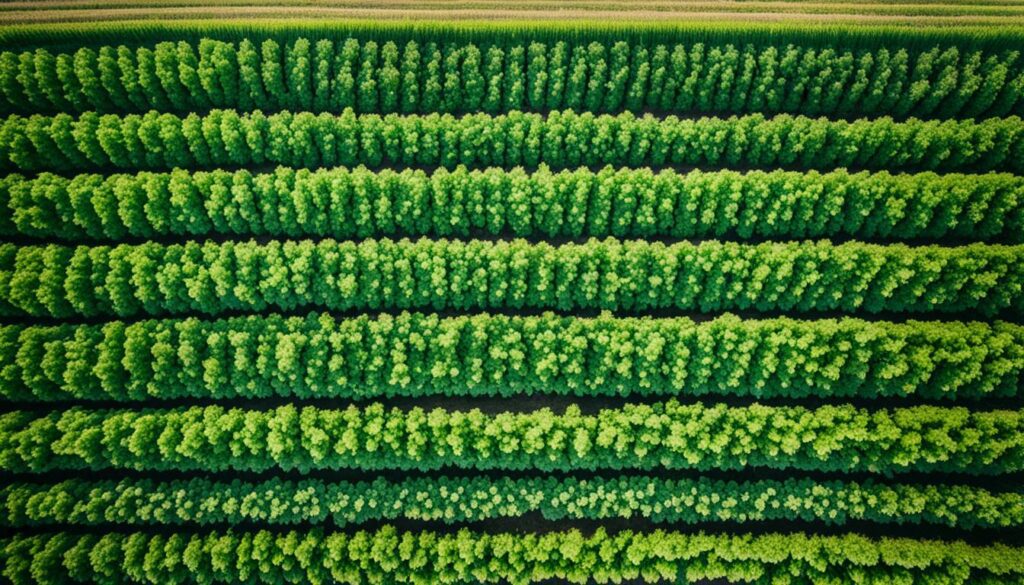
Modern *agriculture technology* heavily relies on innovations like satellites and advanced mapping. These tools help farmers use resources better and increase what their farms produce. *Precision farming software* gives farmers a bigger picture of what’s happening in their fields. It shows things like plant health, soil quality, and issues like pests. This information helps make farming decisions smarter and more effective, ensuring the land stays healthy for the future.
Companies like Intellias take it a step further with their RAIN framework. They design tools that fit each farm’s unique needs, boosting profits. By using things like GPS, drones, and real-time data, they help manage fields better. Such systems enhance both the business of farming and its environmental impact. It’s a win-win for making crops better and more profitable while caring for the planet.
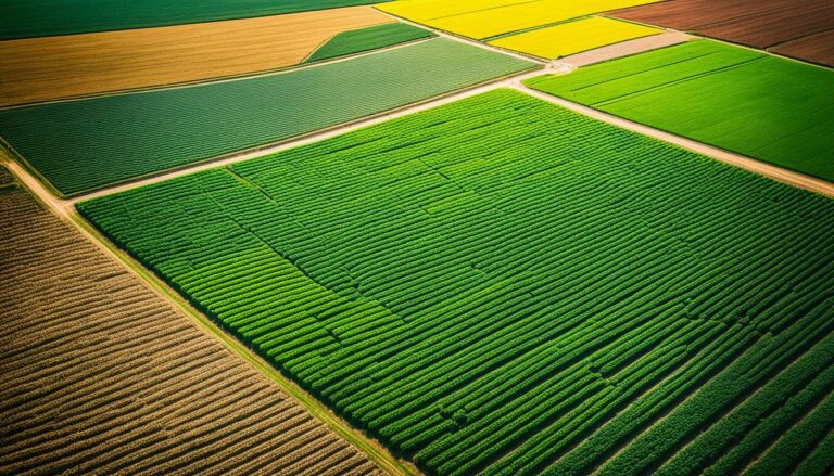
Precision farming combines advanced technologies with farming methods. It aims to improve crop quality and make farming more profitable. By using digital farming tools and smart agriculture technology, farmers can grow crops sustainably. They use GPS, drones, and satellite images to get real-time info on crops, weather, and the environment.
The world has about five billion hectares of agricultural land. It uses more than 70% of the planet’s fresh water and makes up a third of greenhouse gases. Precision agriculture technology faces challenges like high costs and complex systems.
Using soil scanning tech and data from sensors, farmers can learn more about their soil. This helps them choose the best places to grow crops. They use sensors to keep track of the weather and soil conditions. And, satellite images help them see their fields in detail every day.
Despite its challenges, more and more farmers are using precision agriculture technology to boost their yields. This kind of farming can increase crop production by up to 25% and cut costs by 10–20%. It also helps save up to 15% of the money spent on farming. With software to predict the best times to plant and harvest, precision farming is key to farming today.
One example is the STELAR project, funded by Horizon Europe, working for three years on making farming data more useful. It’s making it easier for farmers to make decisions based on data. The global precision farming market is expected to grow to USD 16.09 billion by 2028, increasing by 13.3% every year.
By using smart agriculture technology and digital farming tools, farmers can use less input, like fertilisers and fuel, more efficiently. They treat their fields more precisely, which is better for the environment. This change from old farming methods to new ones is making farming more sustainable and profitable.
| Specification | Details |
|---|---|
| Agricultural Land Area | 5 billion hectares |
| Global Freshwater Consumption by Agriculture | Over 70% |
| Contribution to Greenhouse Gas Emissions | About one-third |
| Increase in Crop Yields with Precision Farming | Up to 25% |
| Reduction in Input Costs | 10–20% |
| Cost Savings | Up to 15% |
| Global Precision Farming Market Size by 2028 | USD 16.09 billion |
| Annual Growth Rate (CAGR) | 13.3% |
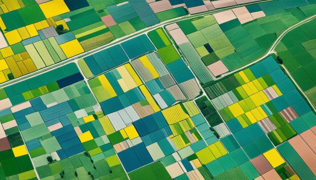
Precision agriculture is changing farming for the better. It uses the latest tech to manage fields from a distance. This means farmers can now use farm management software and remote sensors to look after their crops better.
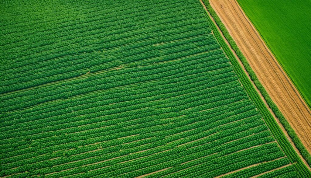
Remote field management lets farmers keep an eye on their fields without being there. They can use GPS, drones, and satellites to check crop health and conditions anytime. This helps even smaller farms to keep their bigger fields in top shape, using fewer resources.
Precision agriculture makes growing crops more effective. It fine-tunes planting and caring for crops by using tech. With info from various sources, farmers can apply just the right amount of fertilisers and water. This not only saves resources but also creates more stable food supplies.
Precision agriculture also cuts costs and boosts profits. It saves money on things like seeds and chemicals. Plus, with tech doing a lot of the work, there are fewer manual jobs.
This way, farming can be more profitable over time. It also helps the environment through smarter use of resources. This strategy ensures farming is both economical and sustainable for the future.
Precision farming software is changing agriculture for the better. It’s making farming less harmful to the environment. It’s also helping farmers use resources better and encouraging eco-friendly farming methods.
New technologies like GPS, drones, and satellite images give farmers key data. They show crop health, weather, and environmental changes. This information helps farmers make smart choices. The result is better use of water, seeds, and fuel. It also means less pesticide, less risk from the weather, and healthier crops.
This high-tech approach ups crop productivity and cuts costs. This makes it a winner over old methods in the long run.
Precision farming helps farming stay sustainable. It lets farmers keep a close eye on their fields without doing as much damage. Using drones uses less fuel and gets deep into details. This makes farm management smarter and kinder to the planet.
Also, satellites help spot crop health issues with clear images. This helps farmers plan care better and choose the right chemicals. Doing this spot on uses less stuff and is better for the Earth. Thus, farming is nicer to nature.
By tailoring treats like fertilizers to what fields need, VRT is key. It uses resources better and helps the planet. This way, soil stays healthy and crops grow better.
| Benefits | Advantages |
|---|---|
| Cost Efficiency | Minimises resource costs (water, seeds, fuel) |
| Environmental Impact | Reduces pesticide use, decreases dependency on weather |
| Crop Potential | Maximises genetic potential of crops |
| Resource Use | Applies resources based on specific needs using VRT |
Overall, using precision farming software boosts how we use farming resources. It makes farming more sustainable and cuts its impact on the environment. This smart approach helps farmers grow top-notch crops while keeping nature in balance.
Various core technologies are changing precision farming. They mix data with modern farm methods smoothly. These technologies help farmers make better decisions, as well as monitor and manage their farms. Now, let’s focus on these key technologies that are transforming agriculture.
GPS in farming has transformed how fields are managed. It gives exact location data for all farming tasks, like planting and harvesting. Using GPS, farmers make precise maps for navigating their fields. This leads to better planning and sharing of resources. The use of GPS in the U.S. has more than doubled over the last decade, reaching over 70% of cropland.
GIS helps farmers see and understand spatial data for better farm management. It allows them to zone their land for specific crop needs, improving how they use resources. GIS is great for crops like corn and soybeans, where precision farming is common. It’s because it lets farmers plan resources more effectively, boosting both productivity and sustainability.
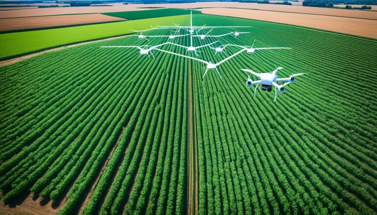
Drones offer a new way to get insights through aerial views. Equipped with hi-tech cameras, they scout crops and collect data. This helps in real-time analysis of field health. By using drones, farmers can apply pesticides or fertilisers better, which may increase their income by up to 20%. Drones also help monitor crop health more efficiently, which makes farming operations run better.
Satellite sensing is vital for getting detailed and current crop health data. It can show plant health, moisture levels, diseases, and nutrition needs. By using satellite data, farmers can closely watch over their crops. This could significantly improve yields by 10-25%. These detailed insights help farmers make smarter choices to manage their crops well and increase productivity.
Using all these advanced tools together means farming becomes more data-focused. This approach is helping farmers worldwide. From North America to South America, and everywhere else, farmers are experiencing better efficiency, saving resources, and making more money thanks to these technologies.
GPS in agriculture has transformed farming as we know it. It enables precise work through accurate field mapping, navigation, and detailed problem targeting in crops. This leads to lower costs, higher yields, and farming that is kinder to the environment.
From small to big farms, many use GPS tech. It guides work like studying soil or watching over crops. With GPS, experts can pinpoint trouble like pests. They then make decisions based on this detailed data, helping farms use land and water better.
Crop dusters with GPS gear can apply chemicals exactly where they’re needed. This precision reduces waste and harm to the environment. Tools like GPS and GIS for mapping make collecting information easier. They also help farmers make better choices.
GPS also means farmers can use VRA tech. This lets them set up plantings or fertiliser spreads in a very smart way. It’s good for the farm’s bottom line and for the planet too.
What’s more, the US is adding more signals to GPS. This will make farming tools even better. Farmers can expect more reliable gear for their precision farming needs.
| Feature | Benefit |
|---|---|
| Accurate Field Mapping | Improves land and water use |
| Precise Navigation | Aids in soil sampling and crop monitoring |
| Variable-Rate Applications | Optimises input usage and boosts sustainability |
| Geospatial Data Collection | Enhances decision-making capabilities |
The use of GPS in farming is a big step forward in agriculture tech. It helps by collecting detailed data and making farming smarter and more sustainable.
Adding GIS integration to farm management brings many benefits. Geography systems let farmers look closely at their land. They can see soil, water, nutrients, and pests clearly.
This info helps farmers make better decisions. This makes farming more efficient and better.
GIS and GPS tech together are great for farming. They offer immediate data on crops and land. This includes things like crop health and what the soil needs.
They use satellites like Landsat 8 for this. Another satellite is EOS SAT-1. It’s new and will watch farms closely.
Also, GIS handles data from farm machines. This means farmers can see their crops’ quality at any time. The EOSDA Crop Monitoring tool is very helpful here. It shows things like soil moisture and weather forecasts.
This setup means farmers can change plans quickly. It makes managing crops and resources much better. It’s a big help in farming well.
Precision farming, with GIS, means using resources wisely. This boosts crop growth and cuts costs. It helps spot areas at risk of pests or diseases early.
This means less need for lots of chemicals. Crops grow better and healthier.
Adding GIS to farm management is changing how we farm. It helps with saving resources and making the right choices. This leads to a better and greener future for farming.
Drones, known as UAVs, have changed farming by letting farmers see their fields from above. They watch their crops closely without going to the field. This saves time and makes their work more accurate. They use special cameras to see the crops and soil in detail. This helps in better crop management and is good for the environment.
UAVs make watching fields easier. For example, using DroneDeploy LiveMap, farmers can map 100 acres fast. This quick mapping means they can spot problems quickly. Corteva Agriscience uses these maps to help make important decisions for better seeds.
| Benefit | Details |
|---|---|
| Time Efficiency | Map 100 acres in under 15 minutes with DroneDeploy LiveMap. |
| Decision Making | Corteva Agriscience uses DroneDeploy for timely, critical decisions affecting seed yield and quality. |
| Insurance Accuracy | Increase accuracy in insurance claims by quantifying total loss areas after weather events using aerial maps. |
UAVs with special cameras are a big help in farming. They take pictures that show crop health and soil conditions very clearly. These images allow for the creation of Crop Health Maps. Farmers use these maps to decide how to treat their crops and see if it’s working well. This way, they can improve their crops and their farm’s productivity.
Satellite remote sensing helps farmers by watching over the fields and crops. It takes high-quality pictures from space. These images show us how healthy the plants are, if they lack water, have diseases, grow irregularly, or need more nutrients. Combining it with precision crop monitoring, these pictures are vital for smart farming.
Satellite images are very important for farming. They let farmers see a lot of details without having to physically check each field. This method allows for careful study and application of farming methods. The Green Revolution helped us produce more food between the 1960s and 1980s. Now, modern farming must use precise methods to keep up with the growing need for food.
Today, the fourth agricultural revolution uses advanced technologies. It relies a lot on satellite images. These new tools like Big Data, artificial intelligence, and machine learning make it even better. They help analyse the data from the satellite images effectively.
| Benefit | Application | Impact |
|---|---|---|
| Moisture Stress Detection | Identifying water deficiencies | Enhanced irrigation strategies |
| Disease Identification | Early detection of crop diseases | Timely application of treatments |
| Nutrient Level Analysis | Monitoring nutrient deficiencies | Improved fertiliser utilisation |
| Structural Anomalies | Detection of plant health issues | Targeted intervention |
Many farmers are starting to use precision crop monitoring with satellite images. This method collects information over large areas. Even the most remote places can be checked this way. It is part of making farming more sustainable. This means using the land and resources as best as we can.
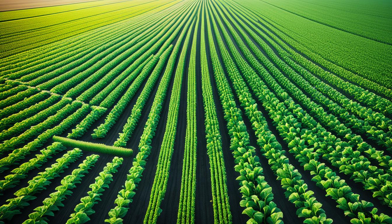
Variable rate technology (VRT) is key in today’s farming. It lets farmers adjust fertilisers and seeds to fit each field’s needs. This fine-tuned approach makes farming more efficient. It also helps grow healthier crops.
Thanks to precision farming, agriculture has seen big improvements. On average, it boosts production by 4% while cutting down on fertilisers by 7%. It also reduces herbicide use by 9%. These results show how effective VRT is at improving farms sustainably.
Farmers also see benefits in using less fuel and water thanks to precision agriculture. With RTK technology, which is very accurate, they can place seeds and fertilisers exactly where they’re needed. Although setting up RTK costs around $4,000 at first, it improves how resources are used greatly.
Drones with RTK tech have made farm checks much quicker, now taking only half an hour. This saves time and money. For example, a Point One Polaris RTK subscription is only $50 a month. It provides detailed maps and is available in many countries.
Precision farming VRT treats each part of a field as unique. It uses satellites and drones to gather very detailed data. This data is used to optimise farming and reach sustainable practices. Soil sampling and mapping are crucial for this.
| Benefit | Impact |
|---|---|
| Increased Production | 4% |
| Reduction in Fertiliser Use | 7% |
| Decrease in Herbicide Applications | 9% |
| Decrease in Fossil Fuel Use | 6% |
| Water Usage Savings | 4% |
Since the early 1990s, yield monitoring equipment has become crucial in agriculture. It allows for precision agriculture yield monitoring. This method uses various tools, like a GPS and sensors for grain flow, moisture, and speed. The delay time for recording grain flow is about 10 to 12 seconds. Usually, the start and end points of the field are not counted to adjust for these delays.
In yield mapping, data creates maps showing the crop yields over time. It marks lower-yielding areas in red and higher-yielding ones in green. Having five years of data helps remove any odd results from weather changes or other surprises.
This data is very useful. It helps us understand what affects crop yield and lets us plan where to use different amounts of fertiliser. The US was at the forefront of using this technology. By 2005, 90% of the world’s yield monitors were in the US. In the same year, many crops, like 28% of corn, were being harvested using this technology.
While not all countries have quickly adopted yield mapping, it’s still very important. Maps made from this technology are full of detailed points. These help farmers see patterns in crop production. They can also be used to check how well farming methods are working.
Today, there are many helpful software options for yield mapping. Big brands like SMS offer tools for planning crops and using satellite images. These software packages make data collection and decision-making in the field much easier.
Smart cultivation technology has changed how we manage crops. It uses data analytics, AI, and the IoT for better farming. With smart tech, farmers can be more efficient and precise than before. These new tools fit the unique needs of today’s farms.
Data analytics help farmers keep a close eye on their crops. They use info from satellites, drones, and sensors. This info helps them water, feed, and prepare fields just right, adapting to the weather. It’s key for healthy crops and not wasting resources.
AI is changing farming, especially in spotting plant diseases and watching crops. IoT links lots of gadgets and systems, making data flow smoothly. This setup helps make smart decisions fast, reacting quickly to changes. It boosts productivity on farms.
Digital farming aims to grow more food using fewer resources. It’s seen as the future of farming. These new technologies make farming agile, data-focused, and sustainable. They help get more from the land without hurting it.
Precision farming software changes the way farmers work. It uses GPS, drones, and satellite images. This helps improve crop quality and profit. It gives farmers detailed crop, weather, and environment info. This makes decision-making easier.
This software makes farming more efficient and less costly. It helps farmers use resources better and cut down on costs. It keeps the environment healthy by using fewer pesticides. This way, crops grow more, leading to bigger harvests.
Digital farming lets farmers use fertilizers and seeds exactly where they’re needed. This helps save resources and lessens harm to the environment. Satellite data keeps farmers up to date on their crops. They can see if they need water, nutrients, or have diseases. This means farmers can use the right treatments quickly.
This tech also helps with planning. It uses farm data to make suggestions for the future. Farmers can make choices that help their business and the environment. This leads to a more successful and sustainable farm.
For more info on precision farming and its benefits, check out digital agriculture resources. They explain in detail how this tech can change farming for the better.
Precision farming stands tall as the backbone of today’s farming practices. It boosts efficiency and sustainability. Thanks to tools like GPS, GIS, UAVs, and Satellite Remote Sensing, farmers get deep insights into their work. They know everything from soil health to the best time to sow, leading to smarter moves and the wiser use of resources.
Back in the 1990s, precision farming started with simple, handheld devices for soil testing. Now, it features high-tech helpers such as drones, AI, and IoT. Big names like John Deere and Agmatix have changed farming by melding data analysis and eco-friendly tactics. This lifts yields and cuts down on harm to our planet.
AGCO’s Precision Planting is reshaping how we plant, ensuring each crop gets tailor-made care. They use big data and machine learning to guess future farming needs. Yet, handling all the data and the need for highly skilled workers, can be tough and costly. But, the payoff is huge – from saving on water and chemicals to reducing the ecological hit of farming. This shows that precision farming is the way forward for a greener, more efficient farm future.
Precision farming software helps manage farms better by using tools like GPS, drones, and satellite images. These tools make farming more efficient. They also help protect the environment by using resources wisely and sustainably.
The software boosts crop quality, helps farmers make more money, and uses resources effectively. It gives detailed information about fields, allowing smart decisions. Data from GPS, drones, and satellites improve farm work, saving costs on things like fertilisers and fuel.
GPS is critical in precision farming. It provides exact location data for tasks like mapping fields and finding issues. This helps run tractors straight and apply different rates of products in the lands.
GIS technology lets farmers work with detailed location and object info using digital maps. It analyses different farm areas. This means they can manage soil, nutrients, and pests better, improving crop health.
Drones are very helpful in farming. They monitor fields from the sky quickly and precisely. This means farmers see their crops clearly without walking the fields. They can then make smart decisions to grow better and apply fewer chemicals.
Satellites give clear pictures showing crop health, like how much water and sunlight they’re getting. This helps farmers know where to focus and what care their crops need. It’s a powerful way to plan grow treatments and use chemicals wisely.
VRT lets farmers put just the right amount of fertilisers and seeds where it’s needed in their fields. They can do this thanks to the software. It means better plant growth but with less impact on the planet.
Yield mapping creates accurate field maps showing crop growth. GPS and satellite data help make these maps. They’re essential for planning harvests and seeing when crops are ready to be picked.
Data analytics, AI, and IoT are changing farming by making irrigation, fertilisation, and field work very precise. These technologies use data from space and on-the-ground sensors for the best crop care. They also help farmers save energy and water.
This software makes all stages of farming clearer and easier to manage. It uses data for smart decisions and gives reports. It’s great for planning, making the right moves, and sticking to eco-friendly practices to boost farm profits.