Menu
Did you know that drones have changed the surveying game with their swift data capture? They can do everything from creating 3D maps to surveying terrain. This tech jump has brought precision and speed to various survey tasks, letting us discover Earth’s details more closely. With the rise of remote sensing technology and artificial intelligence (AI), keeping an eye on environmental shifts and tackling disasters is different today. AI, satellites, and drones together give us almost instant data, vastly improving how fast and accurately we can watch the environment and handle crises. This tool proves itself in spots like exact farming, saving wildlife, and quickly checking disaster damage, boosting our fight against worldwide environmental issues.
The history of remote sensing tech is full of interesting changes over the years. We see a path from simple starts to complex, modern systems. Each step forward has made this tech even more valuable.
In the early 20th century, remote sensing started for military use. It mainly used aerial photos to gather key information. The 1970s saw a big step with the launch of the Landsat satellite. Then, remote sensing began working with GIS technology. This mix led to more advanced capabilities we use today.
Sensor tech improvements have greatly upped remote sensing’s image quality. This means we can now see finer details, making maps and monitoring more accurate. And now, sensors can even detect different light wavelengths, like infrared, offering more detailed environmental info.
Better spectral resolution means more detailed environmental information. This is key in areas like climate modelling and land classification.
The ability to collect data quickly (temporal resolution) has also gotten better over time. Now, we can monitor changes almost in real-time. This is very useful for watching dynamic processes and urban growth.
Today, remote sensing is a must-have in many fields. It’s great for watching the environment closely. GIS tech helps us analyse and show data in smart ways. And high-res satellite pictures are vital for precision farming and managing resources wisely.
New technologies are quickly changing how we use remote sensing. Machine learning and AI turn big data into useful advice. For very detailed work, like in farming or watching cities grow, drones provide close-up views.
The need for remote sensing will keep growing as we rely on it more. It’s not just about satellites and planes now. Drones and robots are joining in. But, the reach and power of traditional tools can’t be replaced.
Focusing on accuracy, new algorithms and models are pulling key data from high-res images. This is invaluable in emergencies to check on damage. The tech is evolving fast, offering even more applications in our digital world.
| Resolution Type | Description |
|---|---|
| Spatial Resolution | Level of detail in images, usually in meters per pixel |
| Spectral Resolution | Shows how well different light wavelengths can be captured |
| Temporal Resolution | Specifies how often data is captured for monitoring changes |
The progress in remote sensing, focusing on better images and GIS, keeps bringing new uses. It’s now a vital part of the detailed information we need.
Satellites provide a unique view of our planet from space. They are key in tracking environmental changes. With the help of artificial intelligence, they offer detailed insights over large areas. This helps in making timely and accurate decisions.
Thanks to satellites, we can spot deforestation early. Reports show they’ve saved over 10 million hectares of rainforest. They give us up-to-date data on how we use our land, the state of our plants, and the weather. This data is crucial for checking the health of our environment and managing resources. Satellites let us do this without touching the ground, like checking on new tree growth or managing carbon in the air.
Satellites are also amazing at pinpointing pollutants in real-time. This is key in finding and fixing places that emit a lot of harmful substances. It helps make cities better by planning smarter ways to move people around, which cuts down on pollution.
Thanks to AI, we’re getting better at reading satellite data. This helps understand how much of our planet is covered by plants, how the ground is used, and what the air is like in terms of climate change. With AI, we can look at satellite info with great detail.
AI is also great at figuring out what the land looks like and how it’s used. For farming, it can check on crops from space, help with watering, and even predict how much we’ll harvest. This mix of satellites and AI makes sure we always know how much green there is, how we’re using land, and how good we’re doing at keeping carbon in check.
| Benefit | Impact |
|---|---|
| Deforestation Detection | Prevented the loss of over 10 million hectares of rainforest |
| Real-Time Data | Aids in observing changes in land use, vegetation, and climate |
| Pollutant Tracking | Supports identification and addressing of emission hotspots |
| Land Cover Classification | Facilitates sustainable land management practices |
| Agricultural Monitoring | Improves crop health monitoring and yield predictions |
The mix of satellites and AI marks a big change in how we watch our planet. It gives us new ways to react to environmental shifts. This leads to smarter use of our natural world, making it better for the future.
Remote sensing is a key player in the battle against climate change. It collects huge amounts of data from the Earth’s atmosphere. This technology helps a lot in watching the air and tracking greenhouse gases.
Keeping an eye on the sky is crucial to know how our climate works. Studies by Basheer et al. and Gnitou et al. show remote sensing is vital. It helps us check rainfall patterns and understand climate change.
Remote sensing also tells us about solar and Earth energy. Meftah et al.’s work highlights this by looking at weather patterns. It helps see how climate change affects us at different times and places.
Detecting greenhouse gas emissions accurately is key. Satellite sensors help us see these gases in different parts of the world. For example, Yan et al. used special tech to predict rain in China, linked to CO2 and methane.
Lu et al.’s research on rain change, with help from the Copernicus Programme, shows what we can do. With remote sensing, Ahmed et al. made maps to understand floods better. It proves remote sensing is a big help in dealing with climate change.
| Researcher | Topic | Duration |
|---|---|---|
| Basheer et al. | Land-use Land-cover Classification | 2017-2021 |
| Yan et al. | Extreme Precipitation Events in China | Future Trends |
| Gnitou et al. | Precipitation Simulations over Africa | Ongoing |
| Ahmed et al. | Flood Characteristic Maps for Deg Nullah | Recent |
| Meftah et al. | Mapping Solar Radiation | February 2021 |
Remote sensing is critical in understanding climate change. It lets us use advanced tech to protect our Earth better.
Drones have changed how we study the environment. They use advanced cameras and sensors to collect data more accurately and faster. This has led to big improvements in how we monitor wildlife and survey land.
Modern drones are now essential for making detailed maps and plans of areas. They use special sensors, like LiDAR, to create precise digital models. These models help with various tasks like planning construction and measuring volumes.
The drones’ ability to get detailed data quickly and with great accuracy is amazing. This makes them very efficient for inspecting and managing infrastructures, especially in big industries. They save both time and money when compared to older methods.
Drones play a big role in watching over wildlife. With their high-tech cameras and sensors, they can do this without causing harm. This helps in keeping track of animals and spotting any changes in the environment. Drones are perfect for checking remote areas that are hard to reach on foot.
They have also started using smart technology to fly on their own. This makes them even better at keeping an eye on the environment. Combining drones with AI means they can notice and react to changes quickly. This helps a lot with protecting animals and managing ecosystems better.
| Study | Focus | Key Findings |
|---|---|---|
| Wireless charging techniques for UAVs | Energy management | In-depth discussion on UAV wireless charging methods, promoting efficient functionality |
| Light-weight wireless power transfer | Drone charging operations | Explores innovative wireless power transfer systems for maximum operational time |
| UAVs in civil applications | Communication architecture | Review of communication perspectives and challenges in UAV operations |
| UAV cellular communications | Standardization and security | Analysis on regulatory frameworks and security challenges for UAV communications |
| Cognition in UAV-aided 5G | Cognitive networking | Highlights cognitive networking requirements for future drone communication systems |
Geospatial data connects remote sensing and GIS systems. It’s key for many apps needing accurate location info.
Today, GIS technology links with remote sensing and GPS. Tools like GIS help make complex info simple. They turn data into 3D models anyone can explore. This is used in many areas, from retail to tourism.
Now, analysing big geospatial datasets is essential. We map Earth’s surface using satellites and planes. This creates real-time location views. It’s used in sectors like online shopping and tourism for detailed mapping and smart advice.
| Technology | Function | Application |
|---|---|---|
| GIS | Interactive 3D models | Retail, Real Estate, Tourism |
| Remote Sensing | Large-scale mapping | Environmental Monitoring |
| GPS | Precise location mapping | Immersive Experiences, Geofencing |
The field of remote sensing is growing fast. With new advancements, benefits for resource management are extensive. They help manage water better and find new mineral deposits.
Water is vital but needs careful management. Remote sensing plays a key role in this by offering detailed data for water models. Satellites like Landsat 8 and 9 provide information up to 705 kilometers above the Earth.
Thanks to Landsat, we can keep track of water needs. It helps watch over crops, figure out how fast water evaporates, and see what areas need to be irrigated. This kind of data is vital, especially in places where water data is hard to get.
These satellites circle the Earth every 99 minutes, ensuring they don’t miss much. They’re great at spotting changes in water and checking on farm lands. Their data helps use water more wisely in many places.
The search for minerals is as important as ever. Remote sensing has changed how we find minerals by offering detailed maps. The new Landsat Next satellites, launching in the early 2030s, will bring even more data to help find minerals.
Organisations like the U.S. Geological Survey help use remote sensing for important tasks. They work with companies to make sure the data is accurate. This is key in finding mineral deposits and planning how to use them sustainably.
The following table illustrates the significant contributions of remote sensing satellites to both water resource assessment and mineral exploration:
| Satellite | Orbit Altitude (km) | Swath Width (km) | Applications |
|---|---|---|---|
| Landsat 8 | 705 | 185 | Water resource assessment, mineral exploration |
| Landsat 9 | 705 | 185 | Water resource assessment, mineral exploration |
| Landsat Next | 705 | 185 | Enhanced data quality and breadth for resource management |
Satellites with remote sensing tech are essential for good resource management. They make it possible to watch over and use our natural resources well.
Satellite surveys show us amazing details we can’t see with just our eyes. They cover huge areas accurately. This helps in many areas, such as making maps and checking where resources are. Those working with land cover and spotting environmental changes rely on this technology.
Satellite surveys are great for figuring out what covers the ground. They look at high-resolution pictures to tell apart different areas like forests or cities. Knowing this helps plan cities, build roads, and manage resources. It supports making choices that help the earth.
These surveys are key in spotting changes in the environment. They show things like forests shrinking, deserts growing, and cities expanding. This is vital for taking care of nature and using resources wisely. By keeping an eye on these things, we help protect our planet.
The following table encapsulates the various applications and benefits associated with satellite surveys:
| Application | Benefits |
|---|---|
| Mapping Terrain Features | Detailed insights for urban planning and infrastructure |
| Land Cover Classification | Supports accurate land use policies for sustainable development |
| Detecting Environmental Changes | Monitors deforestation, desertification, and urban sprawl |
| Resource Management | Enhances the management of water, minerals, and agricultural lands |
Although there are issues like clouds and limited detail, the impact of satellite surveys is huge. They help greatly in making development sustainable. Their cost-effectiveness and broad reach are vital in the effort to understand our planet and manage resources well.
Remote sensing tech has changed how we respond to disasters. It uses satellite and aerial images for quick, accurate area assessments. This has greatly improved our emergency management skills.
After a disaster, quickly checking the damage is key. Remote sensing tools give us real-time data for fast evaluations. They use optical and Synthetic Aperture Radar (SAR) images for spot-on damage checks after earthquakes, floods, or storms.
For example, we need very detailed images (less than 4m pixel size) to see building and infrastructure damage well. This quick look helps teams to use resources well and start rebuilding right away.
Access to quick and correct info saves lives in disasters. Remote sensing data helps point out the worst hit places. By using technologies like LiDAR for mapping and SAR for flood info, rescue teams find and help areas in most danger.
These sources are also key in planning safe ways out and finding people quickly. Thermal images help mark hotspots, finding survivors and guiding rescues in real time.
The BWSI Remote Sensing program teaches people these important skills. Students work with real disaster data, learning GIS, machine learning, and image processing. These skills are crucial for fast damage checks and good response.
| Imagery Type | Resolution | Applications |
|---|---|---|
| Very High Spatial Resolution Optical Imagery | <4m | Building and Infrastructure Damage Assessment |
| Moderate to High Spatial Resolution Optical Imagery | 4-30m | Regional Mapping and Damage Assessment |
| Low Spatial Resolution Optical Imagery | 4-30m | Synoptic and Frequent Mapping at Country or Continent Scale |
| Thermal Imagery | Various | Weather Forecasting, Hotspot Mapping, Sea Surface Temperature Evaluation |
| Synthetic Aperture Radar (SAR) | Various | Flood Mapping, Search and Rescue Operations, Oil Spill Identification |
| Interferometric Synthetic Aperture Radar (InSAR) | Various | Surface Deformation Monitoring (Earthquakes, Landslides, Volcanic Activities) |
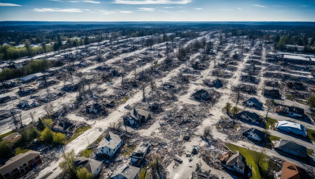
Remote sensing technology is great for watching the environment and managing disasters. But, it brings up issues like data privacy concerns and ethical considerations.
As more satellites and drones watch us, privacy risks grow. These tools are good for checking on land and nature. But they also collect a lot of data that could be used badly if not kept safe.
For instance, drones used in city planning can see private places and people from up close. This creates big data privacy concerns. It’s very important to have strong rules to keep this data safe.
The ethics of remote sensing cover collecting and sharing data. There are big issues for indigenous people and places under close watch. Ethical concerns include privacy and not using data in a bad way.
Activities like farming and mining really affect peatlands. These areas hold a lot of carbon. Watching over these places with remote sensing needs to be done with care. We must follow good ethical practices.
| Remote Sensing Platform | Resolution | Use Case |
|---|---|---|
| Satellites | Global coverage with high spatial and temporal resolution | Monitoring of environmental changes on a global scale |
| Airborne Platforms | High spatial and spectral resolution | Detailed environmental surveys and agricultural monitoring |
| UAVs | Ultra-high spatial and temporal resolution | Precision surveys and wildlife monitoring |
| In Situ Sensors | Complementary data with high accuracy | Ground truth validation |
Creating strong regulatory frameworks is key. They help balance the good of remote sensing with privacy and ethics. It’s crucial to use this tech for all the right reasons while protecting people’s rights.
The future of remote sensing technology is exciting. It links with emerging technologies like 5G and edge computing. This connection will lead to huge steps in real-time data processing. It means we could study environmental changes quicker and more accurately than ever before.
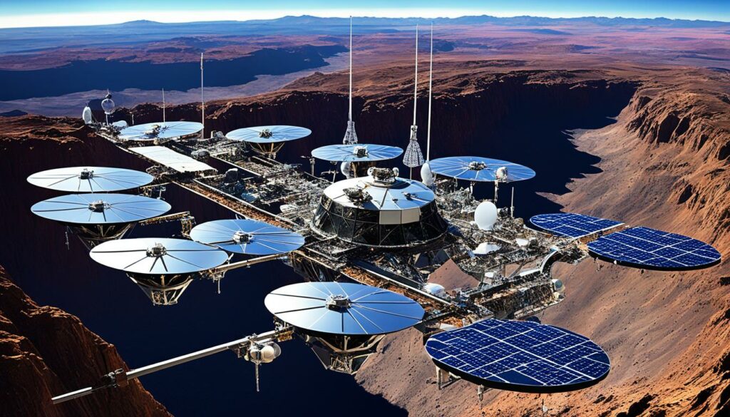
Remote sensing is about to change with emerging technologies. 5G’s super fast data transfers will boost how we gather and send data. Edge computing will process this data near where it was collected. This will cut down any delays and quicken our ability to react. It’s essential for watching over environmental shifts and responding to natural dangers.
Remote sensing is getting much better at real-time data processing. This is key for many tasks, like acting in disaster times and keeping an eye on the environment. New processing power and AI make checking satellite pictures and data from drones faster. These tech innovations will help us watch over our planet and act earlier to fight disasters.
One striking advance is in spectral resolution technology. It boosts a sensor’s skill to see different light waves better. This is crucial for understanding what certain areas are like. It helps with making decisions that are precise and quick. This kind of progress, along with smarter technology and using AI for good, points to a future where our tech works together to protect Earth and make life better for all.
Machine learning is changing how we use remote sensing. It lets us quickly and accurately look at environmental information. With smart algorithms, machine learning helps us make better predictions and recognise images. This is key in many fields, from watching the Earth’s health to saving animals.
In remote sensing, predictive modelling lets us guess future changes in the environment well. Algorithms sift through lots of data to spot unseen patterns. This helps us know when forests might shrink or cities might grow, and then we can act fast.
Image recognition makes understanding remote sensing images easier. It means we can quickly and correctly see what’s in photos from space or planes. This is great for keeping an eye on the environment closely and quickly.
Linking machine learning with remote sensing is improving how we study the Earth. It gives us clever tools for looking at data. The use of Artificial Neural Networks and Support Vector Machines boosts our ability to predict and understand, making it a vital part of studying Earth from above.
| Application | Machine Learning Advantage | Outcome |
|---|---|---|
| Environmental Monitoring | High processing speed and accuracy | Near real-time data and effective monitoring strategies |
| Agriculture | Enhanced predictive modelling | Improved crop management and yield predictions |
| Disaster Management | Predictive analysis | Early warnings and better response planning |
| Wildlife Conservation | Accurate image recognition | Effective tracking and habitat monitoring |
Remote sensing has changed how we look at land by giving us detailed information. This technology uses satellites to gather data on the Earth’s surface. It helps us manage land in a way that uses resources well and protects the environment.
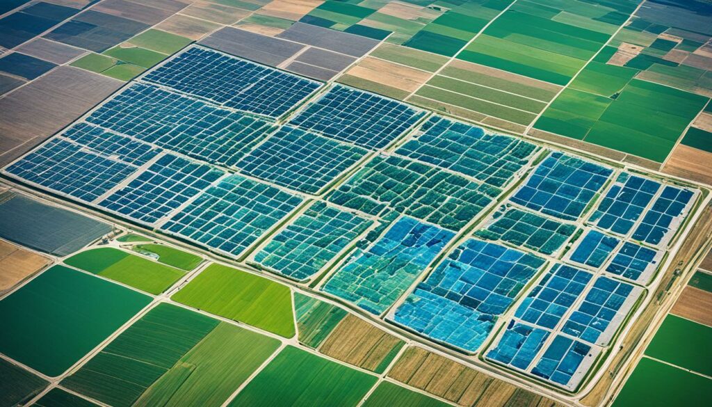
Making maps of the land is very important. Satellites like Landsat 8 and 9 circle the Earth, taking pictures from space. They provide up-to-date images of the land which we use for many purposes.
Sensors in these satellites, such as Hyperion and PRISMA, take very clear pictures. This is key for looking closely at the land and understanding its features.
The U.S. Geological Survey takes aerial photos and makes them into maps. These are very accurate and useful. The National Agriculture Imagery Program updates these maps every three years for the whole U.S.
Remote sensing helps us take care of the land better. It gives us data to make smart choices about how we use the land. This supports efforts to protect the environment and keep the land healthy.
This technology is also used to watch over wetlands and predict where animals will live. For example, it helps find where the southwestern Willow Flycatcher might build its nests.
In farming, remote sensing provides large amounts of data quickly. This data helps farmers grow crops better and keeps an eye on water plants. It allows for quick decision-making based on the newest information.
By showing us what the land looks like and helping us use it wisely, remote sensing is a big help. It ensures we take good care of our precious land.
Looking back at what we’ve covered, it’s clear how remote sensing and AI are changing the game in environmental and disaster fields. Hyperspectral remote sensing, for example, has improved in areas like farming, water quality, city planning, and protecting wildlife.
In farming, the massive amount and different types of data pose both problems and chances. This leads to better monitoring and stronger climate efforts.
Remote sensing now gives us really detailed images, helping a lot with checking on damages and finding people in emergencies. We’re now able to map individual buildings from far above, showing how far technology has come. The rising use of remote sensing combines data from different sources, speeding up how we react to natural disasters.
From the early days of photos, studying light, and sending data through space to now, the progress has been amazing. Landmarks like the first aerial photo in 1859, explaining the light spectrum in 1873, and our first look at Earth from space in 1959 show big steps. I think the team-up of AI and remote sensing will only get better. It will lead to clever ways to tackle our biggest environmental problems and keep our planet healthy for those who come after us.
Remote sensing technology uses satellite imagery and drones to gather data about the Earth. It’s used to monitor the environment, collect geospatial data, and observe the Earth.
The technology has evolved with better sensors, data processing, and GIS technology. It started with aerial photos but now includes satellite pictures. This growth supports various needs today.
Satellites give us a full view of our planet for real-time environmental tracking. They use AI to understand big data, looking at things like plant health and air quality.
It helps by monitoring the atmosphere and tracking greenhouse gases. Satellites measure these gases and other climate factors. This data is vital for understanding and fighting climate change.
Drones help watch wildlife and survey land. They have strong cameras and sensors to collect detailed natural data. This is good for activities like farming and protecting ecosystems.
Geospatial data links remote sensing and GIS for smarter data use. This connection allows for better environmental predictions and more detailed maps.
It’s important for understanding water and finding minerals. Remote sensing helps manage natural resources well. It gives detailed earth data and useful insights.
Satellite surveys help with many things, like mapping land and checking on development. They provide large, accurate data for mapping and resource use.
It quickly checks disasters and their effects. This data helps plan rescues better, which improves how emergencies are handled.
Issues include data safety and using AI right. Setting good rules is key to solving these challenges well.
The future is in working with new tech like 5G and edge computing. This means faster processing of data for better disaster responses.
Machine learning makes remote sensing smarter by predicting and recognising images. This helps understand environment data more accurately, making it better for many uses.
It helps by mapping land features and suggesting sustainable land use. This tech offers important data and insights for proper land management.