Menu
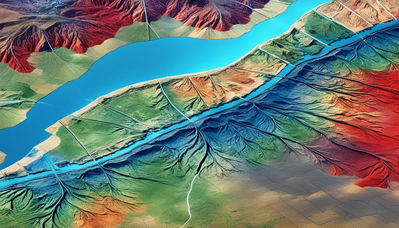
Out of 241 startups checked, only 5 are leading in soil mapping tech for farming. But why is this tech so crucial? It does more than just check soil’s make-up and nutrients. It also looks at soil health overall. This info helps farms be more productive. EarthOptics, QZ Solutions, TerraRad Tech, and Aero Vines are changing the game. They offer new tools that make soil mapping more accurate and effective.
These changes are thanks to smart data use, geospatial info, and remote sensing. Tools like EarthOptics’ GroundOwl for soil density and SoilEO by QZ Solutions for high-res nutrient maps are making a difference. Now, farmers can choose wisely, improving their farming and helping the planet. For more on this, check out this detailed review.
Soil health is key in making crops grow well. It’s especially important today, with farming using lots of land. Good soil boosts how much crops we grow. That’s why soil mapping is a must these days.
Growing crops depends a lot on the health of our soil. Every year, 12 million hectares of land become less productive. This affects 1.5 billion people worldwide. Testing soil keeps it rich and helps feed a growing population.
Not enough fertiliser leads to weak plants that bugs love. Too much fertiliser harms crops and water. Using soil mapping, farmers can choose the right crops and manage soil better. This helps them grow more food without hurting the environment.
Precision agriculture relies heavily on soil mapping. Special tools like GeoPard show us many soil details. They help farmers know how to best use their land.
Products from EarthOptics, like GroundOwl and SoilMapper, are perfect for this. They use advanced technology to give farmers detailed soil maps. This helps them decide on crops, fertilisers, and water use.
REFARMO and QZ Solutions also provide useful tools. They offer detailed satellite images and suggest ways to use nutrients better. These tools help farmers take care of their land more effectively. As a result, they grow more crops.
| Company | Technologies | Benefits |
|---|---|---|
| EarthOptics | GroundOwl, SoilMapper, TillMapper, CMapper, NutrientMapper | Detailed soil maps, actionable insights, improved crop productivity |
| REFARMO | Satellite imagery, Machine learning algorithms | Enhanced field scouting, resource optimisation |
| QZ Solutions | Hyperspectral nutrient mapping | High-resolution soil nutrient insights, optimised fertilisation strategies |
Using soil mapping makes farming better. It saves resources and helps crops grow more. This means farming can be sustainable and profitable for the future.
Soil mapping technologies keep getting better, thanks to new methods and tools. One big trend is using machine learning algorithms. These help a lot in getting detailed and accurate soil analysis from remote sensing.
Companies like EarthOptics and REFARMO lead the way in using machine learning for soil maps. EarthOptics especially uses radar and machine learning to quickly handle big sets of soil data. This turns complicated soil info into helpful advice for managing the land.
Through machine learning, these companies give real-time updates on soil health. This includes dealing with problems like soil compaction and a lack of nutrients, which they can do better than old ways.
Remote sensing is changing how we look at soils, thanks to AgriTech startups. These startups use remote sensing tech for easy, big-scale data collection. They now predict soil features and improve how we understand soil, using digital techniques.
These new digital methods have made soil mapping more accurate and efficient. This makes the old ways look not so good anymore.
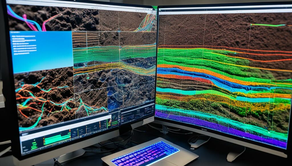
The following table illustrates some key differences and advantages of digital soil mapping over traditional methods:
| Aspect | Traditional Soil Mapping | Digital Soil Mapping |
|---|---|---|
| Data Collection | Manual sampling by surveyors | Automated using sensors and remote sensing |
| Accuracy | Moderate | High with geostatistics and Gaussian statistics |
| Efficiency | Time-consuming | Quick data synthesis and analysis |
| Consistency | Varies with human input | High consistency in output |
| Application | Traditional farming methods | Modern precision agriculture |
These steps forward not only boost our soil health and variety knowledge. They also help a lot in making farming more sustainable. This is by helping people make better decisions.
The world of soil mapping tech is making huge strides. Startups like REFARMO, EarthOptics, and QZ Solutions stand out. They’re changing farming with new ideas.
REFARMO uses AI and satellites to check fields closely. They help farmers see field conditions from space. This stops crop harm and helps use resources better.
EarthOptics has tools like GroundOwl and TillMapper to find compacted soil. Their tech looks deep into the earth. It tells farmers how to keep their soil healthy for plants to grow well.
QZ Solutions looks at soil nutrients with SoilEO. They check magnesium, potassium, phosphorus, and pH. This helps farmers know exactly what their soil needs. SoilEO is great for keeping soil rich for farming.
| Startup | Focus | Key Product | Technological Advantage |
|---|---|---|---|
| REFARMO | Satellite-enabled Scouting | AI and Satellite Imagery | Detailed Field Insights |
| EarthOptics | Soil Compaction Mapping | GroundOwl, TillMapper | Machine Learning & Sensors |
| QZ Solutions | Soil Nutrient Mapping | SoilEO | High-resolution Nutrient Analysis |
Precision agriculture is fast becoming a key part of modern farming. This is thanks to great improvements in soil mapping tech. With detailed soil maps, farmers learn a lot about their soil’s health. This helps them manage their crops better.
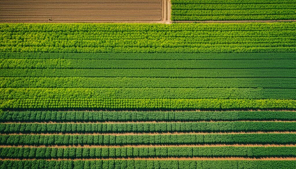
Soil mapping brings many benefits for farmers. It lets them fine-tune their crop management to fit their fields perfectly. They can decide when to plant, what to plant, and how much fertiliser to use. This tailored approach leads to stronger and more eco-friendly farming. Overall, crops grow better.
Technologies like GeoPard’s 3D soil survey maps are a big help. They improve soil fertility and crop yields. Plus, they cut down on water and fertiliser use. This is important for the 2.3 billion people worldwide facing water shortages, as noted by the World Data Lab.
Finding spatial variability in fields is crucial for using farming resources wisely. Knowing how soil varies lets farmers use resources effectively. This cuts waste and helps the environment. The World Bank states that agriculture uses 70% of the world’s fresh water. So, saving water is key.
Soil mapping slashes costs in smart ways. For example, applying fertilisers only where they’re needed saves money. It also prevents pollution. Plus, soil maps help with choosing crops. They’re also useful for government plans. This helps both local and global food supplies.
In sum, precision agriculture, with its high-tech soil mapping, is a game-changer. Farmers get deep insights into their land’s needs. This makes farming more efficient and less harmful to the planet. It promises a future where farms are both productive and green.
Modern soil mapping relies on geospatial data to change how we view and handle soil. With tools like Geographic Information Systems (GIS) and global positioning systems (GPS), detailed soil maps are now possible. These maps give us a better understanding of various soil features and where they are.
Digital soil mapping (DSM) mixes fieldwork and environmental data to make detailed soil databases. It uses classifications and statistical tools to guess where different soils are. The end result is detailed maps showing soil types and their quality.
Thanks to GIS, GPS, and other tech, we can do much more with soil surveys. This includes initial soil maps, updating projects, and detailed soil studies. It all helps in managing land better in changing environments.
Using geospatial data, we can predict how soil might change in the future. This knowledge can improve our farming practices. For example, we can plant crops more effectively, saving resources and the planet.
In places like Florida and Washington, using digital soil mapping has been a success. By understanding soil better, we can plan how to use it best. A project in Madurai, India, showed how mapping soils helps with land use decisions.
The agricultural sector is rapidly changing. It is embracing digital soil mapping techniques instead of traditional approaches. This change offers many benefits but also comes with its own set of challenges.
Before, soil mapping was done by hand which took a lot of work and time. Now, digital soil mapping marks a new age where data is easily gathered and analysed.
This new method uses special tools to collect lots of data quickly. This data is turned into maps that show different types of soil and their properties. By doing this, we get a much clearer picture than before.
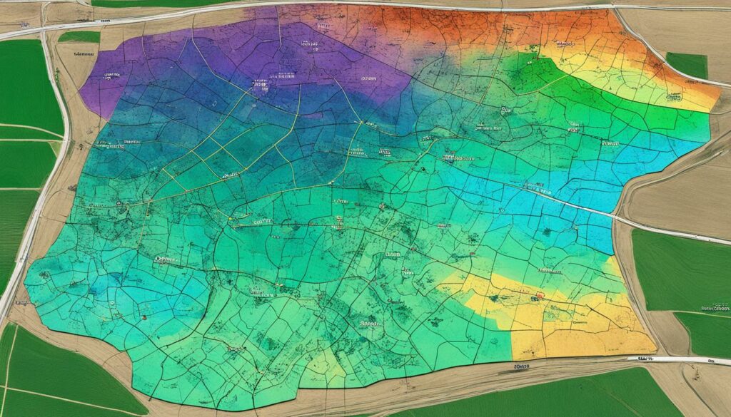
Digital soil mapping has its own set of problems. It needs very good data to work well. Also, it can be tricky to fit this new technology with how farming is already done.
But, there are big wins with digital soil mapping. It helps make decisions fast by looking at data in real-time. This means less time spent in the field and more precise farming choices.
Essex County in Vermont is a good example of how this technology can be put to use. Here, a new mapping system has made things more accurate and efficient.
“Digital soil mapping better captures observed spatial variability and reduces the need to aggregate soil types based on a set mapping scale.” – Zhu et al., 2001.
Using Digital Soil Mapping (DSM) with planning tools can make a huge difference in how land is managed. It makes it much quicker to create soil maps using technology like GIS and Remote Sensing. And, it makes these maps more precise by adding in data from the environment.
So far, many states – like Florida, Minnesota, and Texas – have started using digital soil mapping. These projects are successful in making new maps, updating old ones, and helping to manage things better as our environment changes.
| Method | Advantages | Challenges |
|---|---|---|
| Traditional Soil Mapping | High accuracy in small areas, established methodologies | Labour-intensive, time-consuming, costly |
| Digital Soil Mapping | Real-time analytics, reduced labour, improved decision-making, comprehensive spatial data | High-quality data inputs required, integration with existing farming practices |
In conclusion, though digital soil mapping faces its own challenges, it offers benefits that are too great to ignore. These include better soil records, smarter decision-making tools, and more sustainable use of our lands.
Checking the health of soil is a key part of farming today. It helps increase the amount of crops grown. The Food and Agriculture Organization says healthy soil can make crops grow 20-40% more. So, understanding soil health is crucial.
Companies such as EarthOptics are at the forefront. They use high-tech tools to show detailed soil maps. They also give info on soil tightness, nutrients, and carbon. This knowledge helps to make the soil healthier by adding organic matter.
Now, we can also help the environment with better soil checks. By storing carbon in the soil, farming can help the planet by reducing greenhouse gases. This helps both the earth and farmers’ fields.
Microbial life is vital for a lively soil. By caring for these tiny beings, we get stronger and more resilient plants. This boosts how much food we can grow.
| Soil Monitoring Trends | Key Startups |
|---|---|
| Soil Sensors | Farmsys, N-Sense |
| Soil Mapping | EarthOptics, SoilSerdem |
| Aerial Imaging | TerraRad |
| Soil Robotics | S-A-M Technologies, Vertum Technologies |
| Advanced Soil Analysis | Anton Tech |
| Spatial Soil Characterization | Map My Crop |
| Immersive Technologies | N/A |
| Nanotechnology | N/A |
| Soil Biodiversity Analysis | Farmsys |
| Blockchain | N/A |
These new ways of checking soil health also teach us about its natural life and structure. This guides farming towards a way that’s kinder to the planet.
The world of soil mapping has progressed greatly with sensors and remote sensing. It has transformed farming by making it more accurate and efficient. The U.S. Department of Agriculture explains digital soil mapping as creating detailed soil systems. This is done by mixing field and lab observations with special algorithms. Farmers can then predict soil types or features accurately.
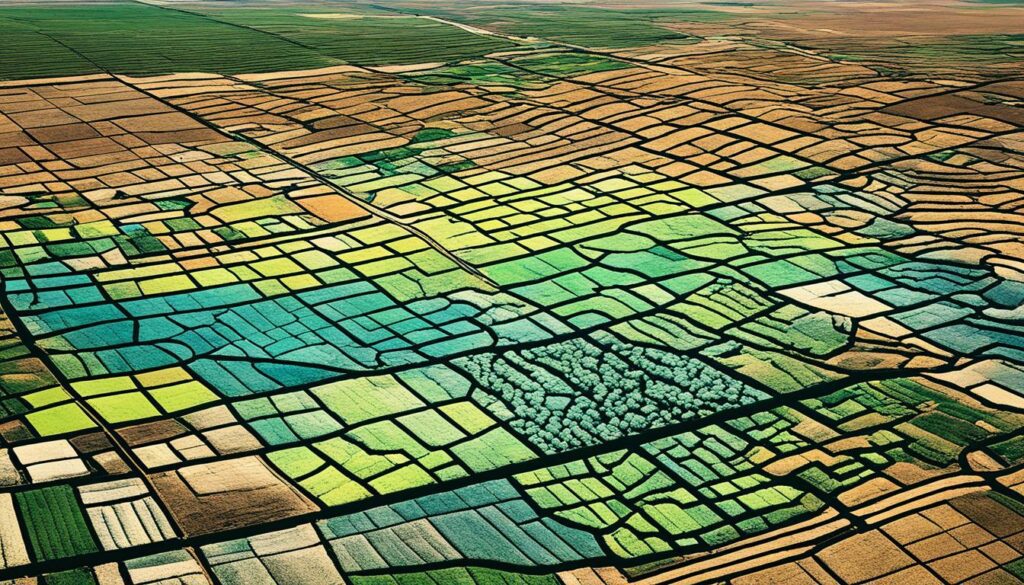
Traditional soil mapping methods, according to the Soil Science Society of America, struggle with detailed location and precise soil data. Yet, multispectral soil mapping excels at checking how crops affect soil health over time. It uses drones with advanced cameras. These drones gather info on soil composition using many light wavelengths.
Tools like GIS mapping and photogrammetry allow for in-depth studies of large land areas. They make use of remote sensing, which checks soil and plant growth regularly. These checks help stop problems in the growing season. They do this by finding out about key soil features, like its carbon levels, salt content, and nitrogen, in great detail.
| Technology | Function | Outcome |
|---|---|---|
| GroundOwl | Electromagnetic soil density measurement | In-depth soil density data |
| Hyperspectral Mapping | Granular analysis of soil nutrient levels | Precise soil health insights |
| Drone Soil Analysis | Imaging for detailed soil mapping | Comprehensive field data |
| Envisat ASAR Radar | Sensitivity to soil’s dielectric constant | Information on soil water content |
| SMOS Mission | Global soil moisture observation | Drought monitoring |
Images from space play a key part in studying land and understanding how healthy it is. They also help us study the weather’s effect on it. Thanks to the QA4SM service, we can trust some of these space maps due to checks with real data. In Africa, better space data helps forecast rain and snow. This is crucial for monitoring soil health, especially in the Northern Hemisphere.
The use of these advanced tools marks a big step for data-driven agriculture. It helps farmers make smarter choices for better crops and eco-friendly farming. Detailed maps of soil made by satellites like PlanetScope and RapidEye are very important. They focus on soil matter’s details. This helps a lot with doing farming very accurately.
Soil mapping technology has changed how farmers understand and manage their land. It uses tools to study soil in great detail. These tools show data and nutrient profiles. This process, known as Digital Soil Mapping (DSM), makes detailed soil databases using observations and related environmental data.
DSM makes detailed soil maps using GIS and Remote Sensing software. This means farmers can see how soil varies across their fields accurately. The resulting digital soil maps show specific soil facts in each grid, making it easy to understand.
This technology uses models to make educated guesses about soil types and what nutrients are present. For farmers, this means they can plan better ways to manage nutrients for their crops and soil health.
GIS, GPS, and aerial data have pushed soil mapping forward. These include digital maps of the land’s shape. Soil scientists now use smart plans to take samples and measure how soil changes across the landscape.
Special statistics and analysis methods are used to make digital soil mapping very precise. Places like Minnesota, North Dakota, and Vermont have shown how this can help with farming and protecting the environment. All in all, soil mapping is crucial for modern farming. It gives farmers the details they need to take good care of their fields and grow healthy crops. This makes farming better for the environment and more productive.
Innovative techniques for measuring soil water content are changing how farmers water their crops. This change helps them use water better and grow more food.
One method is to use drones with special sensors that measure soil moisture. These sensors provide important data. It helps farmers water their fields just right, based on different areas’ moisture levels. They use special maps and computer programs to guess where more or less water is needed, helping farmers decide their watering plans.
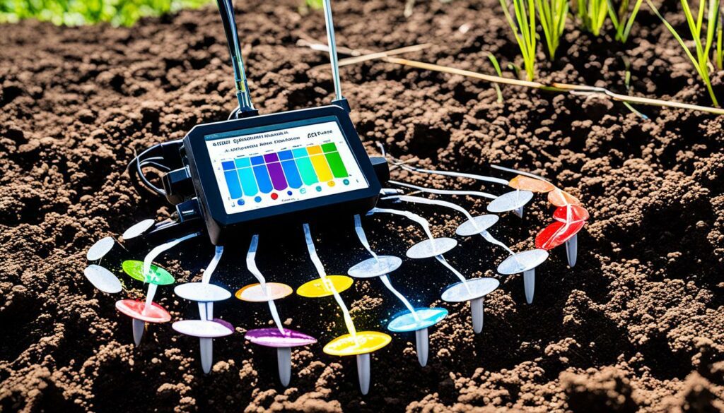
Getting the water levels right in the soil is very important for farming. TerraRad Tech uses tools like radiometers on drones for exact measurements. This helps farms use water better, which means they save water and grow more crops. By watering areas exactly as needed, they waste less water and help the environment.
Research projects show how important these new ways of measuring water are. In a wildfire-prone area in Sonoma County, soil was quite dry, with 15% moisture, before it rained. The moisture doubled after the rain. This shows why measuring moisture in real time is crucial.
Using drones for field checks also helps in other ways. They can spot problems with crops early. This means farmers can make small changes to keep their plants healthy. Places like Pepperwood Preserve use detailed maps to test how well this works. They match up what the drones see with what’s really happening, giving farmers good information.
| Technique | Benefits |
|---|---|
| Multispectral remote sensing | Non-intrusive and expansive monitoring |
| Digital soil mapping | Predictive analytics for soil moisture variability |
| Radiometers on drones | Precise water management and increased yields |
| Proactive monitoring | Issue prevention and health adjustments |
New ideas for knowing how much water the soil has are making farming better. This technology and careful irrigation make farming more efficient and good for the planet.
Exploring how soil mapping helps in farming gives us a deep look into its benefits. It shows how important knowing the soil well is. This helps make farming better.
Soil mapping has worked well in many places around the world. Aero Vines used it to make their vineyards and orchards better. They knew exactly what the soil needed. This made their crops healthier and grow more.
EarthOptics mapped over a million acres of farms and ranches. They have new ways to help soils store carbon. This could cut down 10% of the world’s yearly greenhouse gases. It shows how important soil mapping is for the planet.
Mapping the soil has taught us a lot about farming. It’s especially helpful in places short on water. With good soil maps, farmers can use water better. This makes farming more sustainable.
The World Bank tells us 2.3 billion people lack enough water. Soil mapping helps farmers know their land better. By using these details, they can save water. This is really important in dry areas.
| Indicator | Current Status | Potential Improvement |
|---|---|---|
| Crop Yields | Baseline | Increase by 20-40% |
| Greenhouse Gas Emissions | High | Offset up to 10% |
| Freshwater Use in Agriculture | 70% Global Use | Optimised through Soil Mapping |
These success stories show that soil mapping makes farming better and kinder to the earth. They prove how useful this technology is. And they teach us important things for the future of farming.
Soil mapping greatly helps sustainable farming. It gives crucial insights into soil conditions. This lets farmers use strategies to help store carbon, fighting climate change.
With EarthOptics’ tools like CMapper, farmers can capture and store carbon in their soils. This can reduce up to 10% of yearly global greenhouse gas emissions. The drop in emissions is good for the planet and supports better farm practices.
Good soil is key for high crop yields, which can increase by 20-40%. Soil mapping helps improve soil health. GeoPard 3D soil maps make managing soil easier, cutting down work by more than 80%.
This leads to better soil over time, boosting crops and farm income. Sustainable farming is not just good for the Earth but also profitable.
| Impact Area | Benefits |
|---|---|
| Carbon Sequestration | Offset up to 10% of global annual greenhouse gas emissions |
| Soil Health | Increase crop yields by 20-40%, enhanced nutrient value |
| Farm Profitability | Reduced manual labour by over 80%, increased productivity |
Soil mapping faces many challenges despite technological advances. The main problem is the lack of standardisation, plus handling huge amounts of data. Making high-tech tools accessible to small farms is also tough, putting them at a disadvantage against bigger farms.
Making soil maps with the same content and classifications is very hard. This shows how complicated soil science is.
But, the future of soil mapping looks bright. We expect AI and machine learning to change how we collect and use soil data. This would make soil technologies easier to use and available for farmers of all sizes.
Focusing on soil-landscape mapping is really exciting. It mixes different fields to make better and more practical maps. Researchers like Hartemink and Ma think this approach will lead to more accurate predictions and useful applications.
Dokuchaev’s idea that soils and landscapes relate closely is key to our methods. Hudson, Minasny, and McBratney have written about this. Their work guides us in combining new technologies with solid science, for practical and scientific benefits.
| Challenges | Future Prospects |
|---|---|
| Standardisation | Advanced AI Integration |
| Data Management | Automation in Data Collection |
| Accessibility for Small Farms | Wider Application in Agriculture |
| Harmonisation of Thematic Content | Multiscale Soil-Landscape Mapping |
As technology improves and challenges are met, soil mapping will move ahead. The aim is to make these new methods good for everyone. This will boost both the science and practical sides of soil research, helping all farms.
Soil mapping technology is changing the game in farming. It uses tools like LiDAR and digital photos from above to gather detailed data. This data helps farmers know more about their soil. They can pick the best crops, water and fertilise right, and guess how well the plants will grow. This accurate info makes farming more productive.
Understanding and taking care of Soil Organic Carbon (SOC) is key in this tech revolution. Soil has more carbon than plants and the air together. That’s why knowing the SOC matters a lot for soil health and trapping carbon. Thanks to detailed SOC maps, farmers can now guess their soil’s carbon levels better. This helps them take care of their land smarter. Old ways of soil mapping needed experts doing tests by hand. But now, digital methods, with high-tech maps and pictures, do the job better and faster.
The way digital mapping holds and studies space info is better than the old way. It uses stats that are great at spotting possible mistakes, which makes guessing soil types more precise. As this tech gets better, farming’s future looks bright. The goal is to make farming friendly to the planet and more profitable using smart tech.
Soil mapping technology uses tools to check and show soil properties. These include what the soil’s made of, the nutrients in it, and its health. It uses data from space, sensors, and clever computer analysis to give farmers a full view of their soil’s health.
Crops grow better in healthy soil. This kind of soil has lots of good matter and helpful tiny organisms. It gives plants what they need to grow strong, increasing how much they produce. Soil mapping shows farmers how to keep their soil healthy for better crops.
Soil mapping helps farmers treat different parts of their land just right. They can use water and fertiliser more wisely. This makes the conditions perfect for growing crops well.
Machine learning uses lots of information from sensors and space. These systems turn big amounts of data into useful advice for farmers. Companies like EarthOptics and REFARMO use this to make products for better soil health.
Remote sensing sees the soil from far away. It helps to know soil health without touching it. This includes using pictures from space and special cameras, giving farmers important details about their land.
REFARMO, EarthOptics, and QZ Solutions lead in this area. REFARMO uses AI and space images for detailed checks on fields. EarthOptics focuses on improving how compact soil is, with tools like GroundOwl and TillMapper. QZ Solutions maps out soil nutrients using special pictures with SoilEO.
Soil mapping gives farmers clear details about their land. This helps them make smart choices for growing their crops. It also means they use water and fertiliser in the best way. This is good for the crops and the planet.
Geospatial data is key in soil mapping today. It helps to keep an eye on farms and predict things about the soil. This kind of data makes farming more exact and productive.
The future will see more precise models and better predictions with this data. It will also work more with farming machines that drive themselves. These changes will keep pushing farming to be smarter and more efficient.
Digital soil mapping is great because it’s fast and saves work. But, it needs lots of good data and can be hard to fit with how things are already done. Even so, it’s a big step up over the old ways.
Sensors and tools from far away help gather detailed soil info. Products from companies like EarthOptics measure things like how packed soil is and what nutrients are in it. This helps farmers make choices based on solid facts.
There’s new tech, like TerraRad Tech’s tools on drones, for checking soil moisture. This tech means using water better and getting more from each drop. It helps farms grow more without using too much water.
Take Aero Vines for example. They help vineyards and fruit farms with soil mapping. This shows how these techs can really help, making farming smarter and more efficient.
Soil mapping helps by making farming ways that are better for the earth. Tools like EarthOptics’ CMapper improve the soil by storing more carbon. This makes soil healthier and farms more profitable.
There are problems like needing standards and dealing with lots of data. But, future techs like AI and more ways to gather data promise to make soil mapping even better. This will help farming in new, exciting ways.